
As El Niño continues to strengthen, the chances are it could become the strongest event in seven decades.
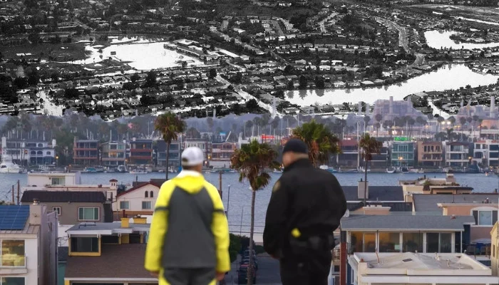
Top California climate experts have warned El Niño might bring record-high seas and coastal flooding this winter.
A “Super El Niño’ of this scale could send shockwaves through climate changes across the globe.
The scientists have cited three converging factors that are pushing sea levels higher along California shores: this year’s extra potent El Niño, climate change and peak high tides.
Mark Merrifield, one of the climate change experts addressed the El Niño patterns in a town hall hosted by North Bay state senator Mike McGuire.
“We’re expecting likely the highest sea levels ever recorded on the California coast associated with this event,” remarked Merrifield, who is a director of the UC San Diego Scripps Institution of Oceanography’s Centre for Climate Change Impacts and Adaptation.
Forecasters at the National Weather Service’s Climate Prediction Center predicted that El Niño could reach record-levels this fall.
Another climate expert from the University of California’s Agriculture and Natural Resources group warned about the similar patterns El Niño could this winter at the same event.
“As we go up through Central America and up the west coast of Mexico and into the Gulf of California, water levels are similarly now approaching or even exceeding a foot above average in this region,” said Daniel Swain during an online session.
“We’re seeing already about half a foot of sea level increase off the coast of California,” Swain added.
El Niño pattern is the main driver of California’s winter weather and is defined by unusually warm waters across the tropical Pacific.
As the temperatures increase, the ocean water swells and pushes sea levels higher.
Ocean forces are steering those rising waters toward California, where a marine heat waves has already heated things up.
2026-08-19 17:35:00