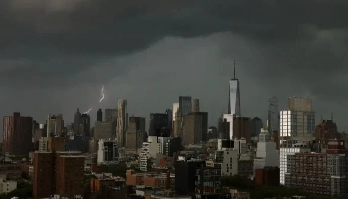
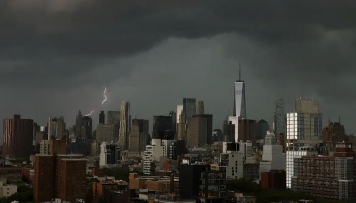
New York and New Jersey are bracing for a rough Saturday as the National Weather Service’s Storm Prediction Center has put much of the region under an Enhanced Risk for severe weather.
The NWS has placed both areas at level three on a five-point scale, with forecasters warning that a couple of potentially strong tornadoes could touch down before the day is out.
The alert has been issued for areas stretching across southeastern Pennsylvania, New Jersey and southern New York. The risk is highest for northeastern New Jersey and the NYC metro area.
Storms started rolling in late Saturday morning and are expected to keep firing off in rounds clear into the night, possibly as late as midnight.
Meteorologists warned high speed winds, reaching up to 70 mph, could knock out power across the cities, adding, “the odds of damaging wind are around 45%.”
Forecasters have described the winds as the single biggest hazard of the day.
Rain is piling up fast too. Some spots had already seen close to 4 inches by early afternoon, with another 1 to 2 inches an hour still possible on top of that.
A flash flood warning went up for North Jersey, Brooklyn, Manhattan, Queens and Staten Island and a broader flood watch will stay in effect into the early hours of Sunday. Low-lying and coastal areas are expected to take the worst of it.
This wasn’t entirely out of nowhere. A tornado warning had already been issued Thursday evening for parts of Ocean and Burlington counties in New Jersey, a preview of the unstable air mass that’s been sitting over the region all week.
2026-07-18 23:51:00