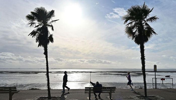
The UK is set to enjoy an unexpected late-September heatwave, with temperatures forecast to reach up to 28C in parts of south-east England on Friday, September 25.
The Met Office said conditions will be “exceptionally warm” for this time of year, as a high-pressure system over the nearby continent draws warm air toward Britain. Much of England and Wales saw largely dry conditions on Thursday, September 24, with temperatures in the low 20s.
Met Office deputy chief forecaster, Dan Holley, said: “Once early fog patches clear in the south, Friday will be exceptionally warm for late September, especially in the south-east.”
Norfolk is expected to be hotter than Athens, with Norwich reaching 25C compared to 24C in the Greek capital.
There will be sunny spells in Cardiff with around 21C while Wales will experience a duller day with showery rain.
However, the UK heatwave will not last long. The weakening cold front will move southeast overnight on Friday through to Saturday, resulting in temperatures closer to normal. Saturday will be mostly dry and fine but there will be rain and showers in the west on Sunday.
The forecasters have warned about a major change next week. A “particularly deep area of low pressure” is expected to move near the UK within the first part of next week, bringing wet and windy weather. When coupled with high spring tides, it may affect the coastal areas in the west.
According to the Met Office, Tuesday and Wednesday may witness “a spell of wet and windy weather” and may bring some adverse effects in the West and South West.
England continues to suffer from drought due to the lack of rainfall in the spring and summer months; thus this heatwave is a short reprieve for the UK.
2026-09-25 00:24:00