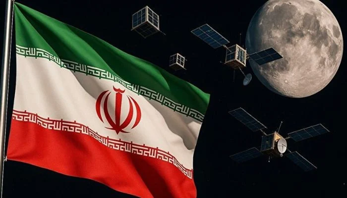
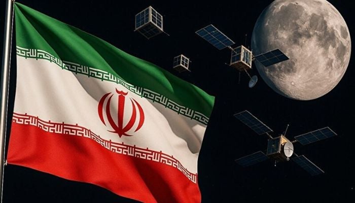
Iran is currently developing a new generation of satellites which will provide higher-resolution images of Earth. This development comes as part of Tehran’s push to increase its role in space.
According to Hassan Salarieh, head of Iran’s Space Agency, multiple remote-sensing satellites with imaging resolution of approximately one meter are now being developed and manufactured.
Iran is reportedly aiming to develop a cluster of satellites capable of providing images with a resolution greater than one-meter over the course of the next few years.
However, what exactly does this entail?
A satellite’s resolution defines the amount of detail contained in the images taken by that satellite. For example, at a one-meter resolution, each pixel (the smallest unit of an image) in an image corresponds to roughly one meter on the Earth’s surface. In contrast, lower-resolution images contain so many pixels that smaller objects may be lost among them.
Each individual satellite can only photograph a specific region while passing directly above it during its orbital path. Having multiple satellites able to capture high-resolution images like these matters greatly due to the frequency of opportunity to photograph a given point on the Earth.
In comparison, a constellation of satellites can decrease time between photographs; essentially allowing their operators to receive a more current view of events occurring on the ground.
Salarieh stated that speed is one of the most significant benefits of using satellite observation. Satellites are capable of gathering large amounts of data covering vast areas in a matter of minutes.
Iran states it wants to utilise the information gathered via satellite for practical uses, such as mapmaking, agricultural support, observing water resources, disaster relief and tracking environmental changes.
However, since satellite imagery can be both civilian and military-based (reconnaissance and targeting), the same technology can be used for either purpose. With its own independent satellite network, Iran would have greater control over when and where it gathers images rather than depending upon foreign or private sources.
Iran has previously gained access to imagery of similar quality utilizing Khayyam, a satellite developed by Russia which was launched in 2022.
Salarieh announced earlier this week that Pars-2 has been finished and scheduled for launch. It is estimated Pars-2 will gather images with a resolution better than three meters. While moving up to one-meter resolution would represent an additional advancement, it would also place Iran below leading U.S. commercial companies offering imagery at resolutions of about thirty centimeters and thus capable of distinguishing much smaller items.
It should also be noted that Iran will need to successfully complete placement of all its planned satellites into orbit and successfully establish them as a functional satellite constellation before the program can claim success.
2026-10-06 18:54:00